



Sri Lanka or Vietnam: Which Is Better for a Holiday, Long Stay, or Remote Work?
An updated comparison of Sri Lanka and Vietnam: nature, beaches, climate, daily life, transport, visas, remote work and budget.
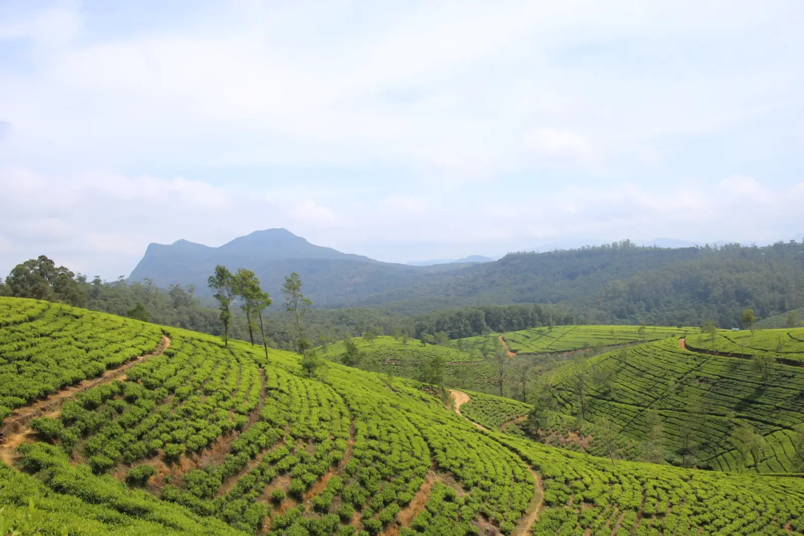
Nuwara Eliya District is a broad highland area in Sri Lanka’s Central Province, not simply another name for Nuwara Eliya town.
An updated comparison of Sri Lanka and Vietnam: nature, beaches, climate, daily life, transport, visas, remote work and budget.

A practical comparison of Sri Lanka and Bali covering beaches, seasons, wildlife, culture, costs, transport, visas, remote work and the travel style each island suits.

A practical Sri Lanka and Mauritius comparison covering beaches, seasons, wildlife, transport, visas, remote work, costs and the travel style each island suits.

After holidays in such a wonderful country like Sri Lanka, I'm sure that everyone wants to bring a piece of it to home. That kind…
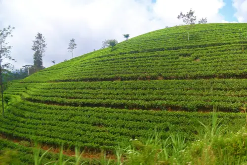
Nuwara Eliya District is a broad highland area in Sri Lanka’s Central Province, not simply another name for Nuwara Eliya town. The district brings together the town, tea-growing slopes and communities farther out toward Kotmale, Hanguranketha, Walapane and Hatton. If you are choosing where to stay, work or spend time, the useful question is often not just “Nuwara Eliya or not?” but which part of the district fits your plans.
The town is a practical base for its market, everyday services and familiar highland streets. Nanu Oya, the rail station commonly used for visits to town, is a separate place, so the last part of the journey still matters. Beyond the centre, settlements and estates are spread across steep terrain; a place that looks close on a map may involve a winding road or a different transport connection. Check the named locality before arranging a stay or meeting.
Rail and road routes also serve different parts of the district. Visitors heading to Horton Plains may travel through Nuwara Eliya, Ambewela and Pattipola, while Ohiya is another rail-side approach; the park entrance is not beside every station. This distinction is useful when comparing a room, a driver or a day’s plans. Timetables, road conditions and access arrangements can change, so confirm those details for your dates instead of relying on an old itinerary.
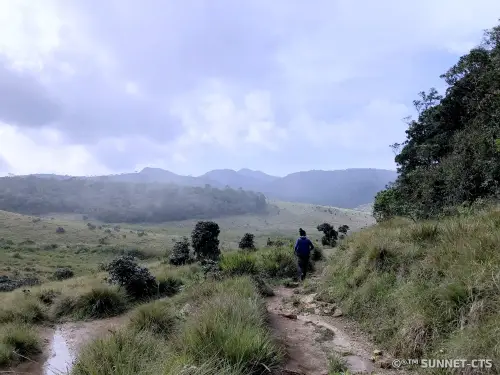
The landscape changes with altitude. Around the tea estates, slopes, factory settlements and transport links shape daily routines; higher open country around Horton Plains has a different feel and requires a different kind of preparation. The Central Highlands property on UNESCO’s World Heritage List includes Horton Plains, Peak Wilderness and Knuckles, but that designation does not cover every town or estate in Nuwara Eliya District. It is better to name the exact place than to treat the entire district as one protected park.
Hatton and the communities toward Sri Pada are not interchangeable with the town of Nuwara Eliya. They can make more sense for a journey centred on the southern highlands, tea country or a particular trail, while Nuwara Eliya town may suit someone who wants its own services and surroundings. Kotmale, Hanguranketha and Walapane add still other everyday settings. Compare the actual destination, not only the district label, when deciding where a service or accommodation will be useful.
If you are weighing this area against neighbouring Kandy District, start with the centre of your plans. Kandy is the more direct choice when you need the city itself; Nuwara Eliya District is more relevant when your plans depend on the tea highlands, Nanu Oya, Hatton or Horton Plains. Neither label guarantees a convenient connection to every other place in the hill country, so a route-based choice is more useful than assuming the districts are interchangeable.
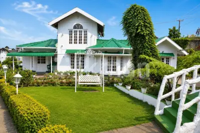
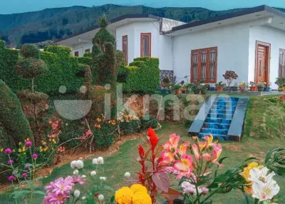
This page is a local directory of private listings for Nuwara Eliya District: you can post information about accommodation, work, a service or an item, and look for something relevant to your own plans. The point is to connect the search to the right part of the highlands, whether you live here, are moving for a season or are passing through. A district-wide result may be many kilometres from the town, so read the location details before deciding that it fits.
For a longer stay, compare daily access to shops, transport and the places you expect to visit; for a short trip, check how the proposed base connects with your route. In the highlands, mist and rain can affect visibility and road travel, while temperatures feel different from Sri Lanka’s coast. Verify current conditions and schedules locally, then contact the person behind an offer to clarify location and terms. These small checks help distinguish an attractive-sounding place from one that actually works for your time in Nuwara Eliya District.