Sri Lanka or Vietnam: Which Is Better for a Holiday, Long Stay, or Remote Work?
An updated comparison of Sri Lanka and Vietnam: nature, beaches, climate, daily life, transport, visas, remote work and budget.
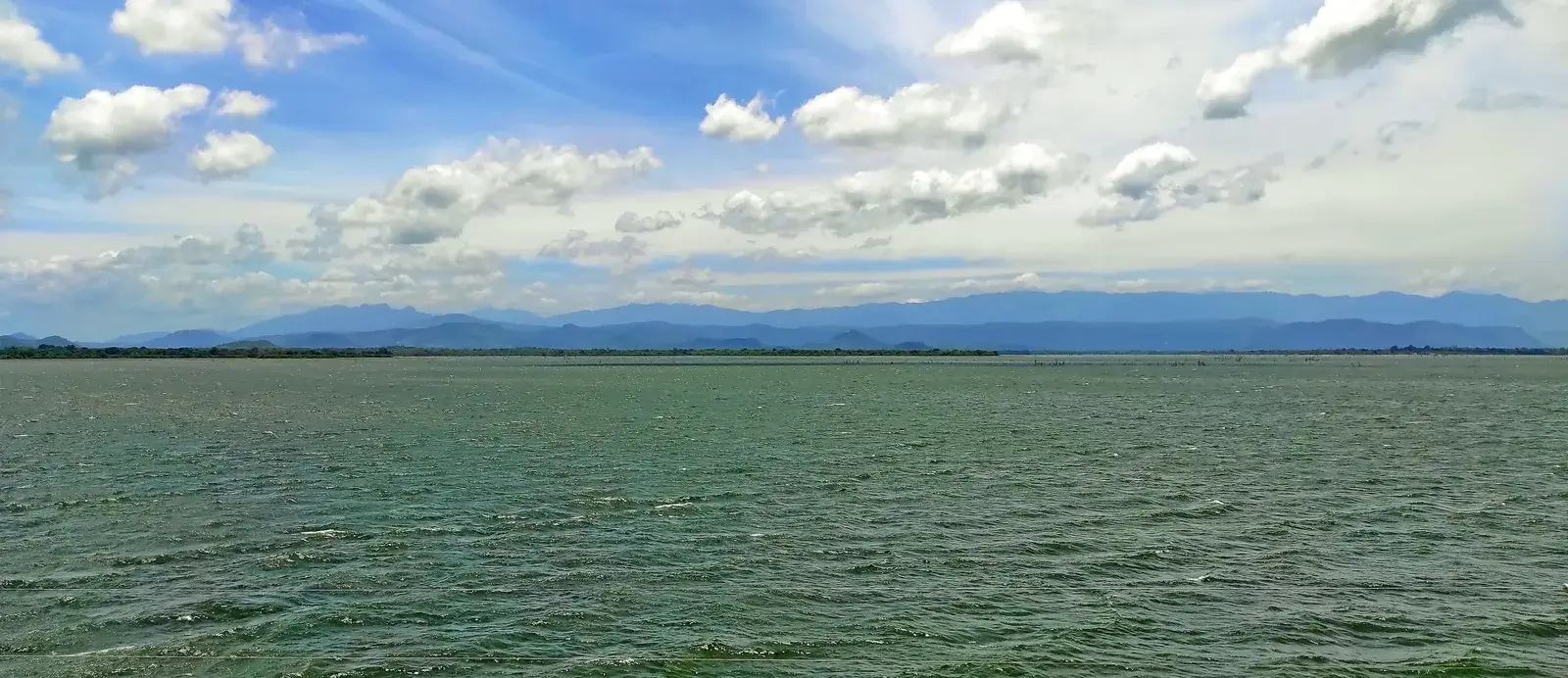
Udawalawe is known for a national park shaped by the Walawe River, open grassland and the broad reservoir beside it.
An updated comparison of Sri Lanka and Vietnam: nature, beaches, climate, daily life, transport, visas, remote work and budget.
A practical comparison of Sri Lanka and Bali covering beaches, seasons, wildlife, culture, costs, transport, visas, remote work and the travel style each island suits.

A practical Sri Lanka and Mauritius comparison covering beaches, seasons, wildlife, transport, visas, remote work, costs and the travel style each island suits.
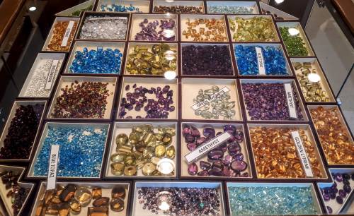
After holidays in such a wonderful country like Sri Lanka, I'm sure that everyone wants to bring a piece of it to home. That kind…
Udawalawe is known for a national park shaped by the Walawe River, open grassland and the broad reservoir beside it. This page covers the Udawalawe area in Ratnapura District, but the protected landscape itself does not stop at the district boundary: the park also extends into Monaragala District in Uva Province.
That distinction matters when planning a visit or looking for a place to stay. Udawalawe town and the settlements around the park are useful as a visitor base; the national park is a much larger protected area reached through its own entrance and visitor arrangements. A result described simply as “Udawalawe” may refer to the town, accommodation nearby, the reservoir, or the park, so check the exact location rather than assuming that every place is beside a gate.
The landscape is not only a safari backdrop. The reservoir was created by damming the Walawe River as part of a development scheme, and the water, streams, marshy edges, woodland and open grassland now form connected parts of the park environment. Changes in terrain and water are part of what makes a drive through Udawalawe different from a visit focused on Sri Lanka’s hill country or southern beaches.
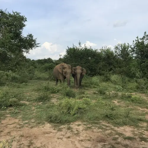
People often associate Udawalawe with elephants, but wildlife viewing is never guaranteed. Animals move freely and sightings depend on conditions on the day. It is more useful to think of a safari here as time spent observing a large working landscape than as a promise to see a particular species. Keep a respectful distance, follow the park’s rules and let the animals’ behaviour set the pace.
The Elephant Transit Home is a separate place with a different purpose from the national park safari. It is a wildlife care and rehabilitation facility associated with the return of young elephants to the wild; it should not be confused with a safari gate or treated as another name for the park. If you want to visit it, verify current access arrangements and official visitor information independently.
Udawalawe National Park lies across Ratnapura and Monaragala districts, while this location page is nested under Ratnapura District. That administrative path describes the catalogue’s geographic address, not the full legal or ecological boundary of the park. For transport, accommodation or local services, compare the actual settlement and route with the part of the protected area you intend to visit; distances on a map can be more informative than a broad place label.
Entry to the park is governed by permits and visitor conditions. The Department of Wildlife Conservation publishes the current reservation process, so check it before travelling rather than relying on old prices, opening times or advice copied from another season. Road conditions, access arrangements and the practical time needed for a visit may change, and the official instructions are the best starting point.
This page is also a local private-classifieds catalogue for Udawalawe: you can look for nearby accommodation, transport, services, work or useful items, or share your own local notice. Listings are supplied by their authors, so confirm the precise location and details directly before making plans. If a result is actually in another settlement or district, use that location page to keep the search relevant.
The photograph shows Udawalawe Reservoir within the national park, at 6.427857, 80.839858; it is not a generic image of a safari or a claim about wildlife sightings. Photo: AntanO, Wikimedia Commons, CC BY-SA 4.0. The original and licence are available from the source page; this image was resized and converted to WebP, and the adapted image is shared under the same CC BY-SA 4.0 licence.